A blog about a first-time house owner learning to maintain his backyard, and thoughts about nature, science, history, and life.
Showing posts with label dock. Show all posts

Wednesday, May 22, 2013

Photos from the Dock: Direct Sun Edition


I went outside after dinner to take some photos and see how high the creek was after some thunderstorms rolled through last night.  My weather station reported 0.68" of rain.  I timed it right, as the sun was directly across from the dock, in an opening between trees.


I wasn't the only one enjoying the gorgeous weather...a couple of ducks were enjoying a swim.


I wasn't quick enough on the trigger, but a third duck flew in, quacking away, and drove the other two ducks around the bend, farther up the creek...and farther from me.


By the time I finally got around to taking a picture.  (I tried to shoot a video, but by the time it started recording, the ducks had flown away.)  You can see the ripples on the surface of the water that the ducks churned up in their excitement to get away.


The creek had been running low for most of the week - we haven't had much rain lately - but after last night's thunderstorm, it's come up close to the dock again.   In the photo above, you can see the high water mark from earlier this morning, a couple of inches above the water level.


As I said above, the water had come up to within a couple of inches of the dock.


The creek's edge has greened up quite a bit since my last batch of photos from the dock.


The position of the sun made for some really spectacular photos.


Here's a better shot of that high water mark:


Some of my favorite photos are the reflections in the creek:


The sun settled right into the notch between the trees:


With the sun directly across from the dock, my shadow was climbing the steps:


One last shot of the creek:


Monday, April 15, 2013

A View from the Other Side


A week and a half ago, I took a walk around to the Genung Nature Preserve (view more photos of the preserve here, here, and here).   I snuck off the trail and headed in the direction of my house, looking to snap some photos of the dock and the surrounding area from the opposite bank.


There is a large clearing on the other side of the creek, which, once I broke through a little brush, made it easy to walk around.  Right now, it's still pretty lifeless and brown.


But there are splashes of green, too:


The clearing was ringed by thicker brush, and I had to survey a route down to the creek bank.


As I went, I had to make note of landmarks, like the bent-over tree seen here, to help me find my way back to the trail:


I took time to look back in the direction of the trail so I could remember where I had come from when it was time to go back to the trail.  Wading across the creek wasn't a terribly desirable alternative, with the water temperature still somewhere around 40F.


And finally, I made to the creek's edge:


The creek bank is a great deal flatter here on the inside of the "U" formed by the creek.


And the creek had slowly been receding, as we were in the middle of a dry period.  But it was still wet enough that the bank was muddy.


Looking upstream, directly across from my house.  From this angle, you can really see how the opposite bank steepens going into the bend.


One of my neighbors around the corner has a set of steps leading down to a much shallower-inclined creek edge.  


Here's my dock, from the opposite creek bank.  I've been waiting to take this shot side the day I moved in.  The bank is so much steeper here as the creek turns into the base of the "U".  You can see a couple of signs of the creek's power: the erosion of soil, exposing tree roots in the two feet just above the water line, and the power of ice, which lifted up the metal pole supporting the dock on the right.  The dock's become pretty misshapen, but it's still completely intact and safe to stand on.  I'm guessing that it can be repaired, and hopefully without too much effort.


A closeup showing how the right side of the dock has been lifted up about a foot higher than the left side:


And one more dock shot:


And now we begin to turn and look downstream of the dock:


If it weren't for the trees along the bank's edge, the bank would be even farther back.  Those roots - at least where they're more dense - hold the soil in place.


And then the creek winds around to the other bend in the "U".


The contrast between the developed side of the creek and the natural side of the creek is pretty striking: a straight line of trees behind the houses - possibly planted by settlers quite some time ago? - and the open, sparse vegetation of the undeveloped side of the creek.


Farther downstream, the creek splits around a small island.  This (below) is the right branch.  The left branch passes over the remains of the old mill dam.


And here's a better shot of the island and the waters splitting around it.


I wonder if this area gets flooded in high water:


And with that, I had explored the area that I'd hoped to explore.  Here's a well-worn deer trail that I picked up on my way back to my human trail.


Sunday, February 3, 2013

Scenes from the Yard

See the stick in the lower right hand quadrant of this photo?  It marks where my snowboard used to be.  With the high winds we've experienced in the last couple of weeks, it must have blown away.  I'll have to stop by the arts and crafts store today and pick up another (sturdier?) snowboard.

Thanks to all of the wind, there are a lot of twigs down across the yard.

The wind was strong enough to fell some larger branches, too!

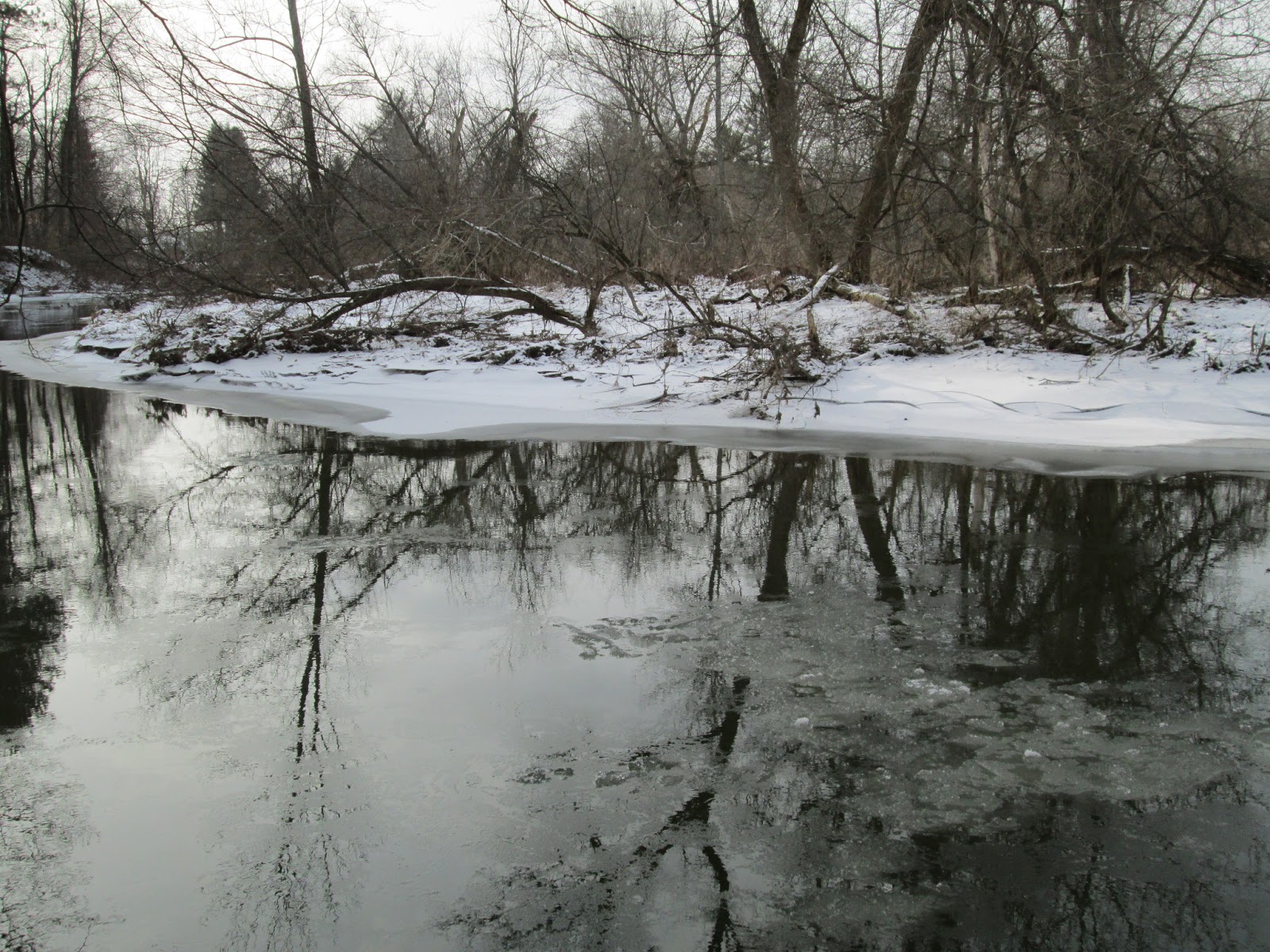
I strolled down to the dock to take a gander at the creek.  The ice is thicker than yesterday, and it extends farther out into the creek.  There's still a parade of small ice floes.  I'm not sure where they come from, but I did see one bob to the surface.

The fringe of the ice looks like a series of waves has passed over it, but I think the reality is more likely that the ice accumulates underneath the surface, and that these rifts are due to wave action from below.

Yesterday, the branches of this tree reached down to the water surface, where they were holding onto small bergs of ice.  It looks as though the branches were snapped off sometime in the last 24 hours.  Also, notice how the thin ice floes on the surface of the creek tend to move right along the icy edge as they pass through the bend near the dock.  The middle of the creek is ice-free in the photo above.

Looking across the creek, the fringe ice has extended on that side, as well, and there is a series of rifts in the ice near the water's edge.

See how much thicker the ice has gotten?  I don't think it's anywhere near thick enough to stand on.  Also, notice the wave-like rifts near the water's edge.

We had a very hard freeze a couple of weeks ago, when temperatures struggled to get out of the teens.  We spent the better part of a week in single-digit temperatures, and at night below-zero temps were common.  The creek froze solid (I'll have pictures in the coming week), and the dock was literally bent out of shape because the water was running high at the time.  In the photo above, you can see how the corner of the dock at the upper right was warped.  The dock is still stable, and I don't think this will have any long-term ramifications for my ability to use it.

Saturday, February 2, 2013

Photo Series: The Icy Creek

The creek has dropped below the level of the dock again, after submerging the dock and the first step earlier this week.

Notice how the bottom step has a bit less snow than the step above it.  Also, some ice was left behind after the water receded below the dock.

As I've noticed when the temperature drops well below freezing (to the upper teens when I went outside this afternoon), the edges of the creek freeze over first.

Small areas of surface ice floated by.

The surface ice was broken up by rubbing against the sturdier ice along the edge of the creek.

As you can see, the creek carried a train of these thin patches of ice along the surface.

The ice ringing the creek extends from the bank up to three or four feet into the creek in places, while in other places, the ice is only a couple of feet wide.

The opposite bank also had the ice extending into the creek.  With temperatures slated to remain below freezing until the end of next week, the ice cover will be expanding on the creek.


The steel cable that holds the dock in place is still caught in the ice.

The ice dangling over the bank shows how high the water was at one point - a few inches above its current level.


It looks like the tree branches in the photo above provided a stable platform from which stationary patches of ice could form....the water just slid on by.