A week and a half ago, I took a walk around to the Genung Nature Preserve (view more photos of the preserve here, here, and here). I snuck off the trail and headed in the direction of my house, looking to snap some photos of the dock and the surrounding area from the opposite bank.
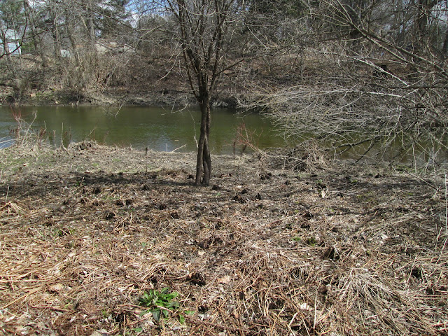
There is a large clearing on the other side of the creek, which, once I broke through a little brush, made it easy to walk around. Right now, it's still pretty lifeless and brown.
But there are splashes of green, too:
The clearing was ringed by thicker brush, and I had to survey a route down to the creek bank.
As I went, I had to make note of landmarks, like the bent-over tree seen here, to help me find my way back to the trail:
I took time to look back in the direction of the trail so I could remember where I had come from when it was time to go back to the trail. Wading across the creek wasn't a terribly desirable alternative, with the water temperature still somewhere around 40F.
And finally, I made to the creek's edge:
The creek bank is a great deal flatter here on the inside of the "U" formed by the creek.
And the creek had slowly been receding, as we were in the middle of a dry period. But it was still wet enough that the bank was muddy.
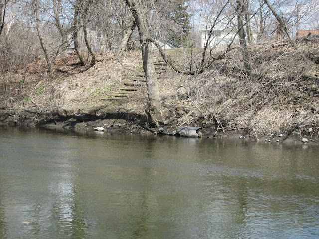
Looking upstream, directly across from my house. From this angle, you can really see how the opposite bank steepens going into the bend.
One of my neighbors around the corner has a set of steps leading down to a much shallower-inclined creek edge.
Here's my dock, from the opposite creek bank. I've been waiting to take this shot side the day I moved in. The bank is so much steeper here as the creek turns into the base of the "U". You can see a couple of signs of the creek's power: the erosion of soil, exposing tree roots in the two feet just above the water line, and the power of ice, which lifted up the metal pole supporting the dock on the right. The dock's become pretty misshapen, but it's still completely intact and safe to stand on. I'm guessing that it can be repaired, and hopefully without too much effort.
A closeup showing how the right side of the dock has been lifted up about a foot higher than the left side:
And one more dock shot:
And now we begin to turn and look downstream of the dock:
If it weren't for the trees along the bank's edge, the bank would be even farther back. Those roots - at least where they're more dense - hold the soil in place.
And then the creek winds around to the other bend in the "U".
The contrast between the developed side of the creek and the natural side of the creek is pretty striking: a straight line of trees behind the houses - possibly planted by settlers quite some time ago? - and the open, sparse vegetation of the undeveloped side of the creek.
Farther downstream, the creek splits around a small island. This (below) is the right branch. The left branch passes over the remains of the old mill dam.
And here's a better shot of the island and the waters splitting around it.
I wonder if this area gets flooded in high water:
And with that, I had explored the area that I'd hoped to explore. Here's a well-worn deer trail that I picked up on my way back to my human trail.


No comments:
Post a Comment